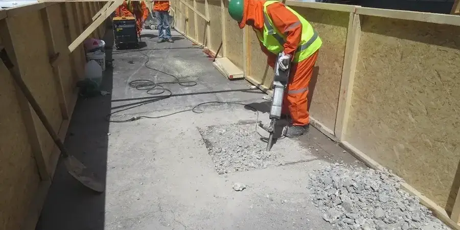
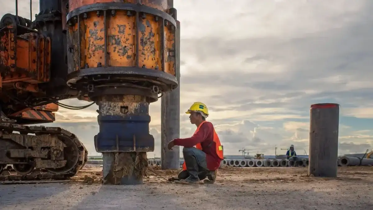
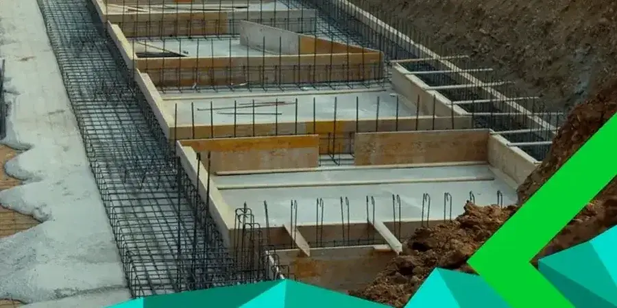
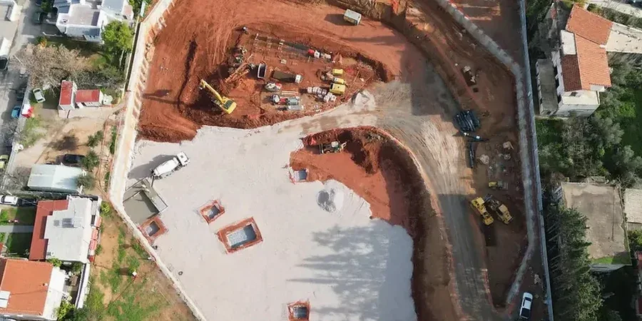
The chalk bedrock underlying Luton sits beneath a patchwork of glacial tills and river terrace gravels, particularly along the River Lea valley. These variable ground conditions demand rigorous geotechnical design of deep excavations. A borehole log from the town centre often shows 3 to 5 metres of stiff, silty clay over weathered chalk, with groundwater perched in the gravel lenses. The engineering team tackles this complexity by coupling site-specific soil parameters with the observational method defined in Eurocode 7. Before defining the shoring strategy, a precise ground model is essential. In many Luton projects, this starts with a CPT test to delineate the chalk weathering profile, providing continuous resistance data that complements discrete borehole samples and guides the choice between cantilever walls and propped systems.
In Luton's chalk, excavation design is governed by fracture-controlled permeability and the sudden loss of strength when the material remoulds under groundwater pressure.