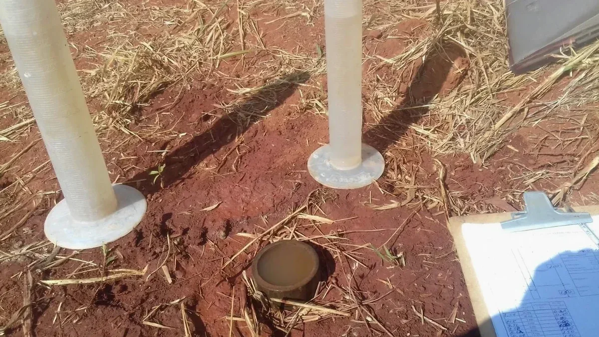
Luton sits on the northern edge of the Chiltern Hills, where the White Chalk Subgroup meets overlying glacial till and clay-with-flints. This geological layering creates complex groundwater flow paths that drainage designers and foundation engineers have to contend with regularly. A simple particle-size analysis from a disturbed sample cannot capture the behaviour of fractured chalk or the anisotropy of the Lambeth Group clays, which is why in-situ measurement becomes essential. The Lefranc test gives us reliable point permeability in soil or very weak rock, while the Lugeon test quantifies water loss in the fractured chalk that underlies much of the town centre and airport perimeter. When soakaway crates are planned near the River Lea headwaters or a deep basement is proposed in the High Town area, the local planning authority and Thames Water will expect field permeability data rather than lab estimates. In our experience, integrating these tests early with the site investigation boreholes avoids costly redesign when ground conditions turn out wetter than the desk study suggested.
Chalk permeability in Luton varies more with fracture spacing than with porosity—two boreholes five metres apart can give Lugeon values that differ by a factor of ten.