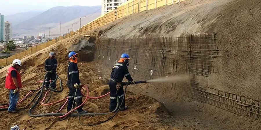
The Chiltern Hills define Luton's landscape. The steep chalk escarpment to the south and the undulating clay vales to the north create a complex geotechnical setting. Rainwater infiltrating the Chalk Group's fracture network triggers seasonal instability that we see most winters. The Gault Formation clays present a different challenge. Their low permeability traps groundwater at the interface with the chalk. This is the critical failure surface for many shallow landslides around Stockwood Park and the M1 corridor. We apply Bishop and Spencer limit equilibrium methods to model these conditions accurately. The analysis goes beyond a simple factor of safety calculation. We integrate groundwater monitoring data and detailed back-analysis of local historic slips. The result is a reliable retaining wall design parameter set grounded in site-specific geology.
The interface between the Chalk and the Gault Clay is the single most critical failure horizon across southern Luton.